← Back to Projects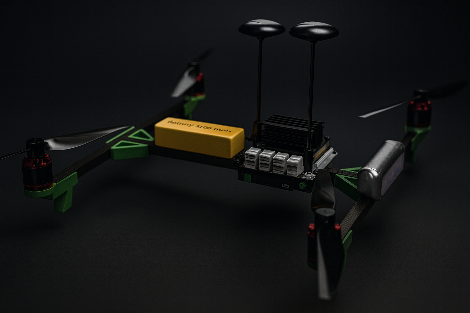
Warehouse Drone Inventory System
Autonomous PETG/carbon-fiber drone with LiDAR and ROS 2/Nav2 for inventory scanning in a GPS-denied, multi-level warehouse.
2024
Summer Intern – Godrej & Boyce (Aerospace)
Overview
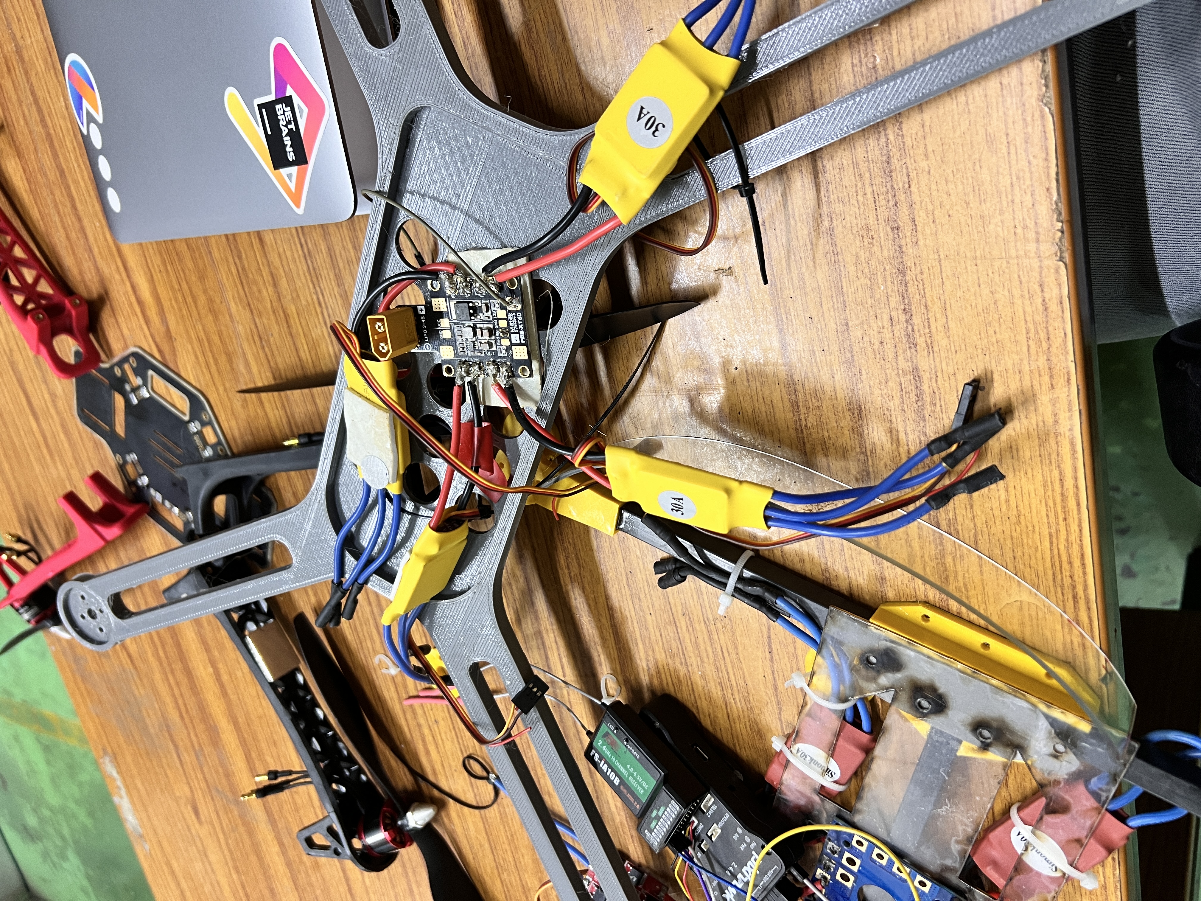
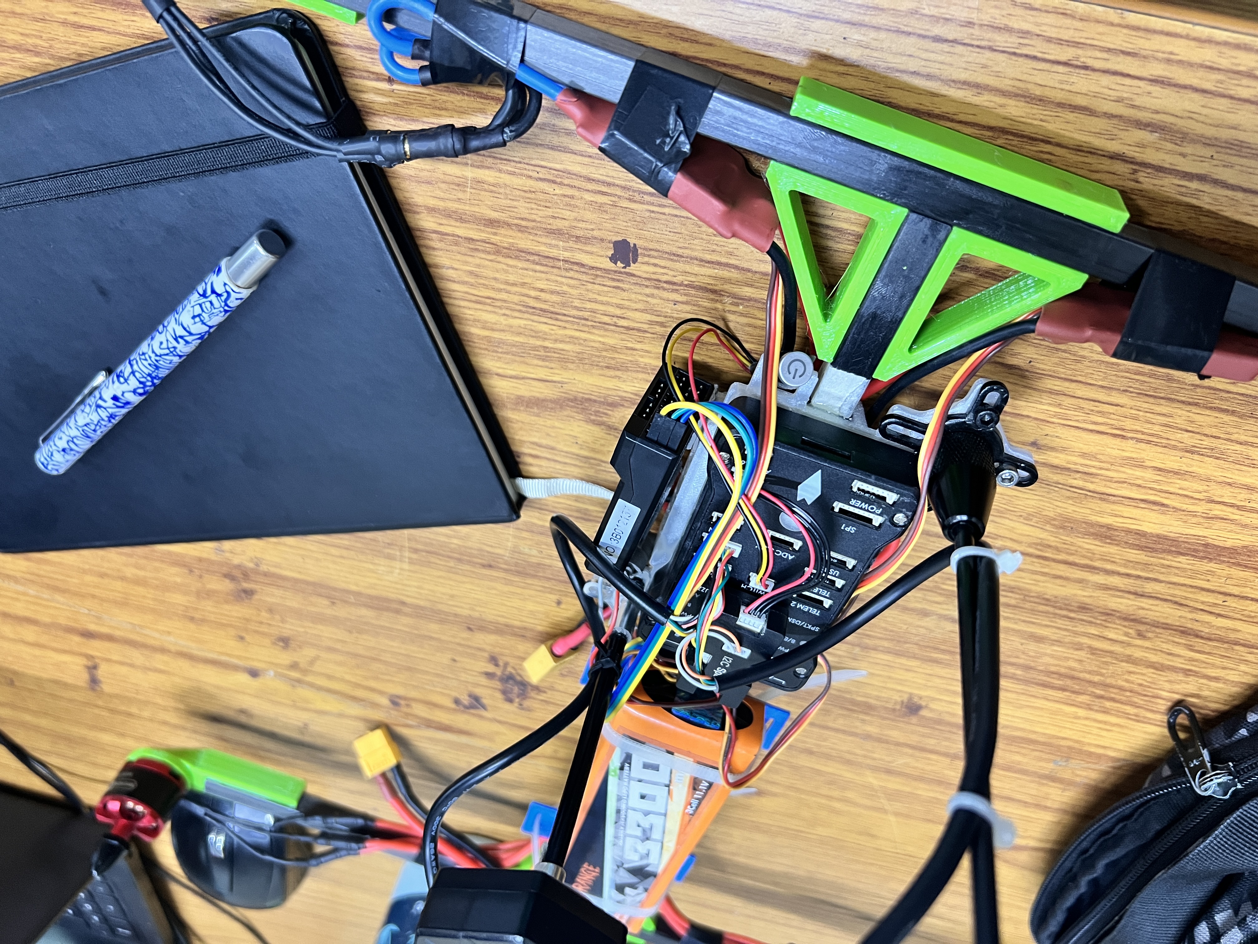
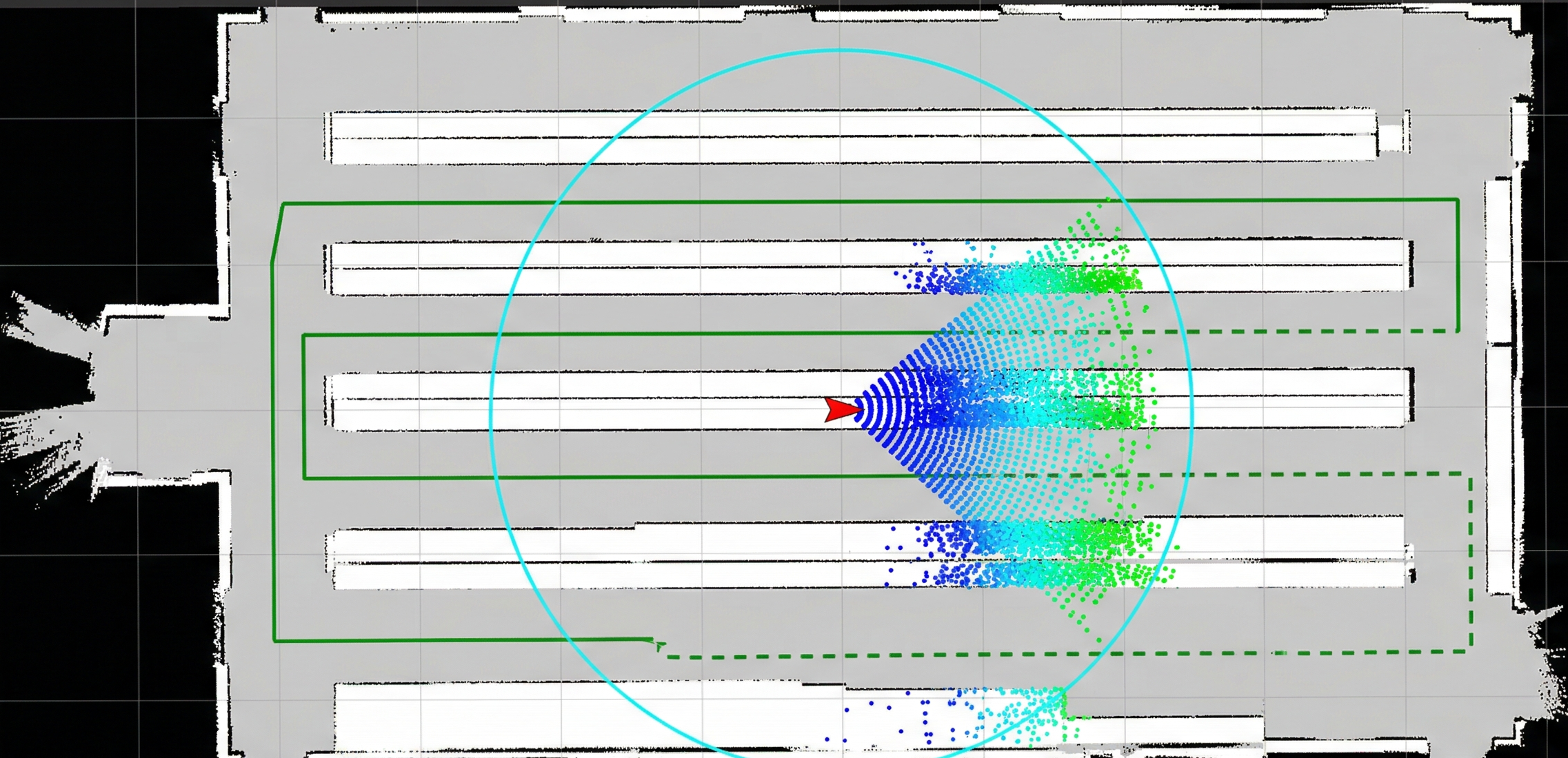
Engineered a custom-frame PETG/carbon-fiber drone for autonomous inventory scanning in a GPS-denied, four-story warehouse. Integrated a 360° LiDAR and onboard perception stack to map narrow 2 m aisles and localize relative to shelving. Deployed a ROS 2 + PX4 offboard pipeline with Nav2 Costmap2D, using a Gazebo digital twin to tune planners and avoid hardware-heavy iteration. The system was optimized for repeatable, top-shelf pallet scans while maintaining safe clearances around metallic racking.
Outcomes
- Achieved roughly 4× faster top-shelf inventory scanning (from ~15 minutes to ~4 minutes per aisle) compared to the manual lift-based process.
- Reduced first-article test time per aisle by about 47% by validating navigation and perception behavior in a Gazebo digital twin before on-site flights.
- Eliminated routine at-height lift operation for inventory checks, improving operator safety and overall warehouse throughput.
Gallery